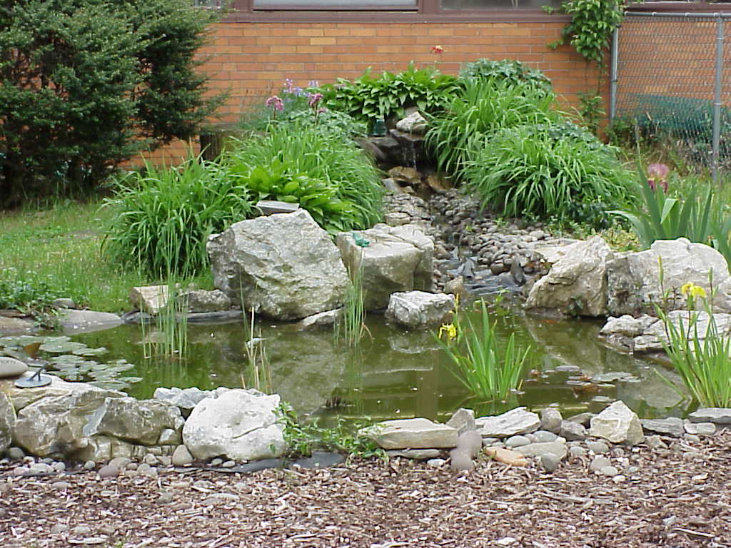
Harmony Pond was planned and built by the students, parents, teachers and community members of McVey School in October 1995. Our class mapped it out so that future students will see how it was in 1998-99. With hope, those students will then map it out again for future students to come.
During a couple of sunny days we went outside and our teacher split us up in four groups. Each group was in charge of a quadrant of the pond and courtyard area. We used meter sticks and a trundle wheel to measure. We measured distances of trees, bushes, the arbor, the benches, and the doors to the pond. We figured out the perimeter of the courtyard and the pond area itself. We plotted all of this on a scale grid.
After all the information was recorded each quadrant group handed in their sheets. Then our cartographers, or map makers, took all the data and put it together on the computer with a map-making software program. For students to come, this is what our pond and courtyard looked like in the years 1998-1999.By: Christina & ChrisMay99
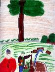
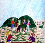
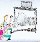
Click on the thumbnails to see our drawings of us while we were working to complete the Harmony Pond map.
Back Home